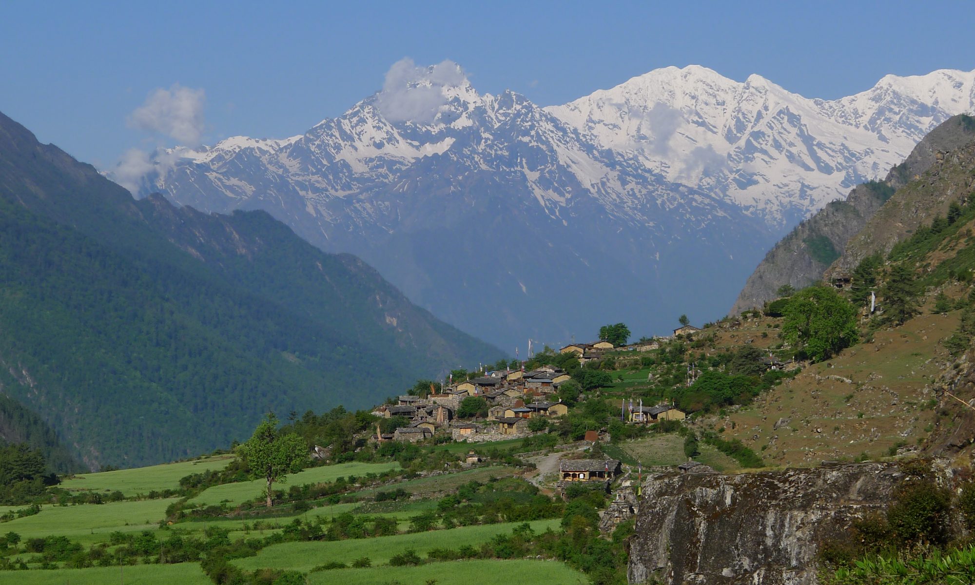
The spring of 2015 brought devastation to Nepal. On April 25, a 7.8 magnitude earthquake struck central Nepal, affecting over 900 villages in the rural mountainous regions. The epicenter was positioned in the Gorkha district, west of the capital in the central mountains. Roughly 58 municipalities in 53 of the political districts were affected by the tremors. Immediate estimates from around a week after the initial quake counted upwards of 7,000 casualties, over 14,000 injured, and around 1.2 million peoples displaced from their homes and communities.
Damage
The impact on villages in the mountains near the epicenter were devastating. Entire villages were flattened by the tremors alone, with many others damaged by rock slides from the surrounding mountains. The impact on some small mountain communities was literal extinction: with the size of some remote mountain communities numbering less than 50 in total, entire communities were wiped off of the map as casualties of the earthquake.
Relief Efforts
Public relief organizations were distributing supplies and assisting injured and displaced nationals as soon as teams were able. Unfortunately for mountainous communities, the relief efforts were more heavily concentrated in the highly populated areas of the country, such as the capital of Kathmandu. While the national Gorkhali army spread through the mountain communities and pushed relief efforts into the heavily affected areas, their progress was limited by the terrain and destruction therein. Some communities were not reached until an entire week after the initial quake.
More detailed information can be found in the links below:
